Hiking Cape Enniberg in the Faroe islands
In 2018, I decided to celebrate my birthday in the Faroe islands, and to be more specific – on climbing Cape Enniberg.
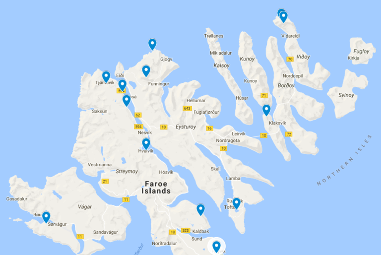
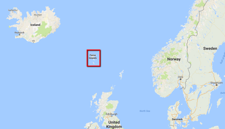
Yes, although I already visited the Faroes (if you don't know where are the islands – check out this post), I wanted to see them one more time. I ordered flight tickets and created a map with a few places I didn't see last time and are now goals. I had hiking trails, waterfalls, churches and more.
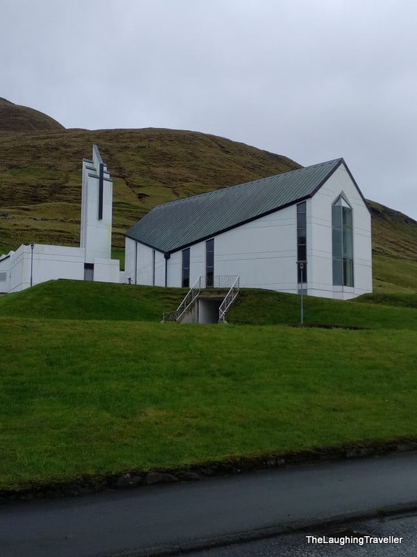
It was a Sunday and I felt like going to church to hear a service with the organ and all. With the help of a local friend I checked when is the service in the nearest church to where I stayed. When she got back to me she mentioned that that church also has the most modern organ in the islands!
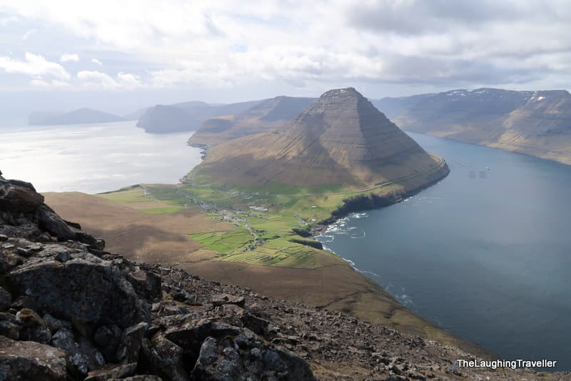
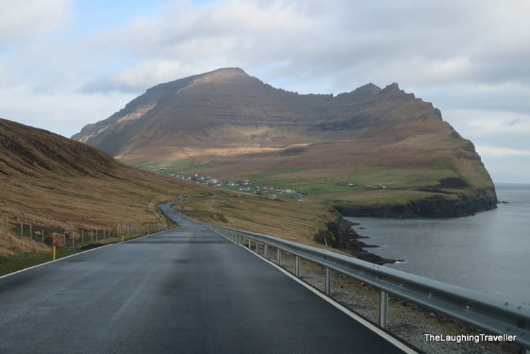
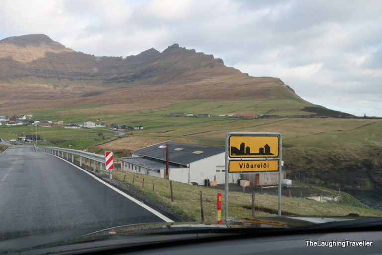
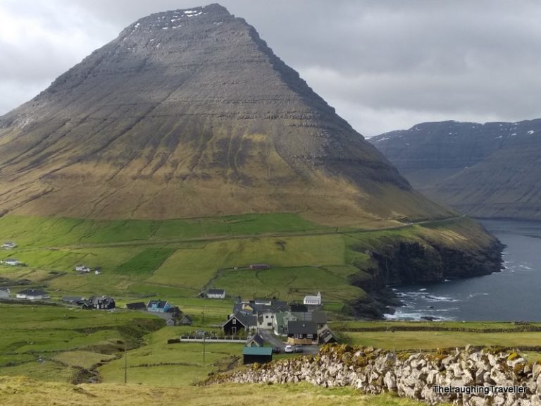
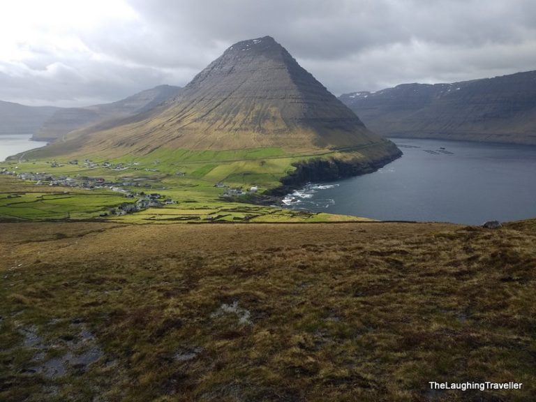
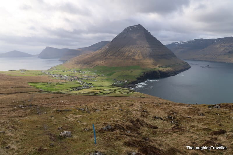
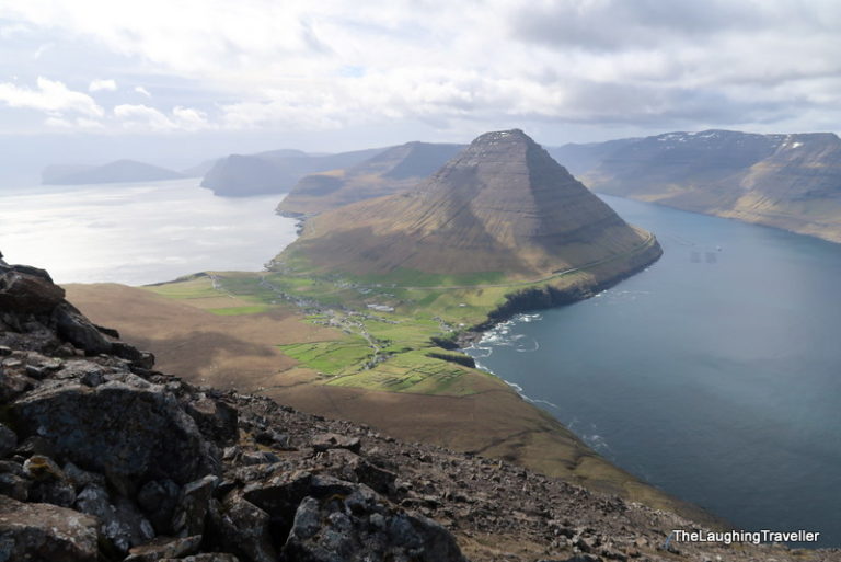
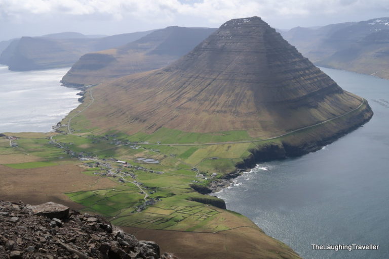
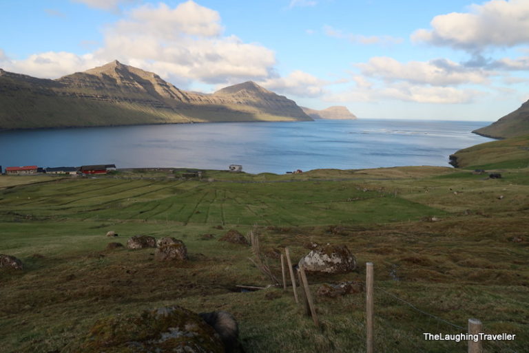
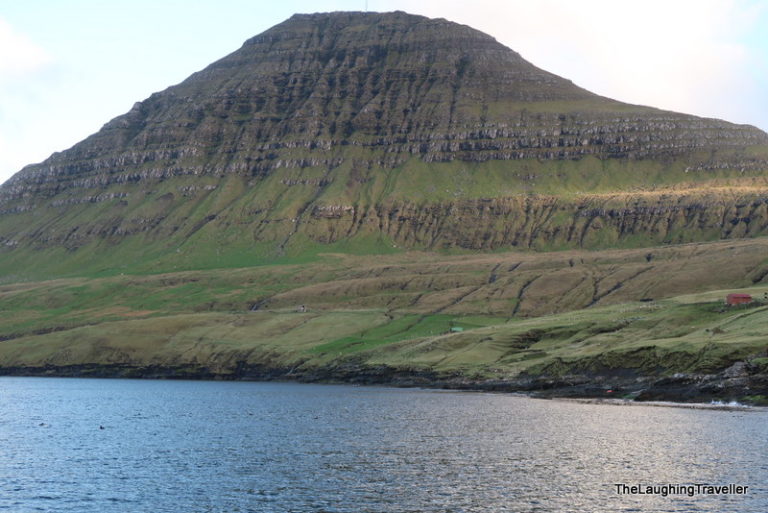
All the above information was tempting, the problem was that the service was due to 11AM which kind of ruins the day you know. So I gave it up. The weather forecast was good so I planned on hiking one of the highest mountains in the Faroe islands, which is next to the northernmost village, Vidareidi.
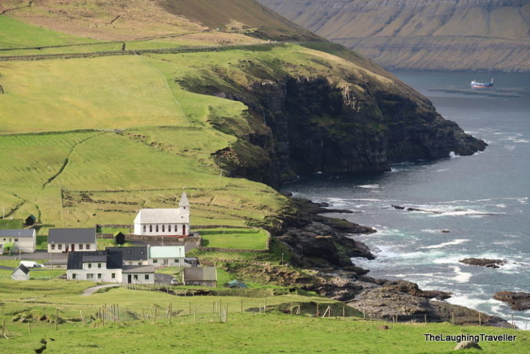
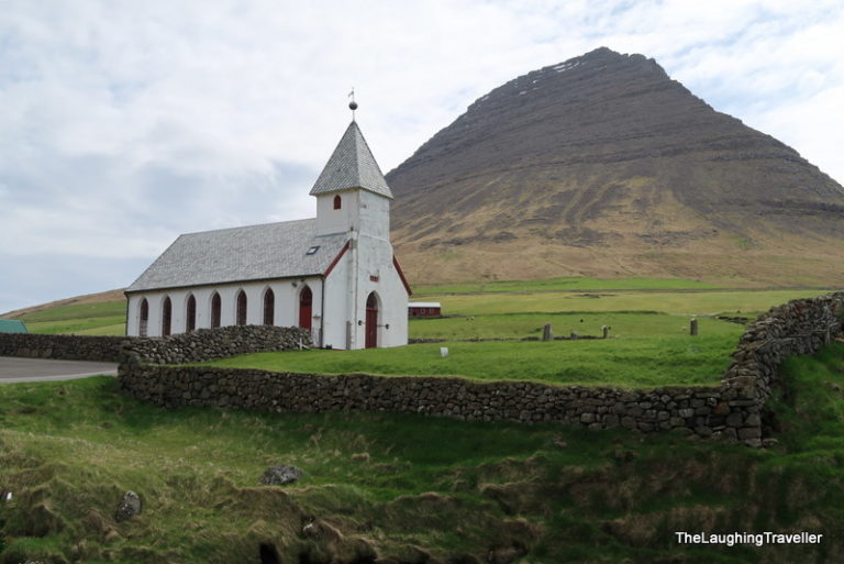
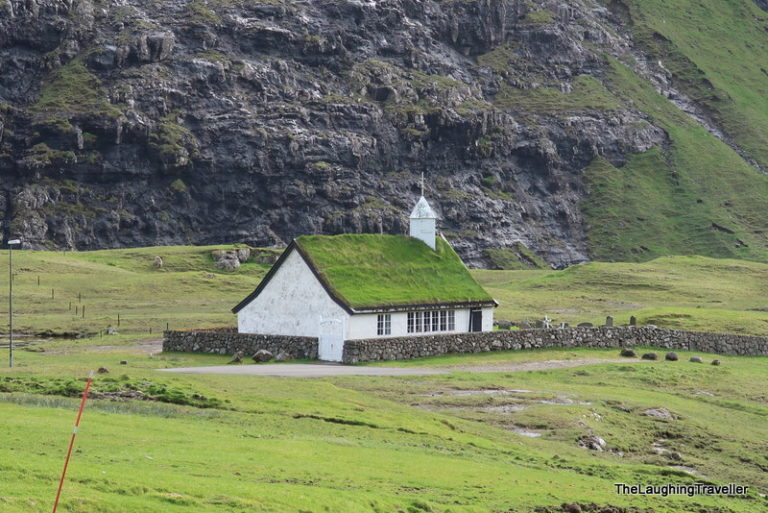
Vidareidi - the most northern village in the Faroes
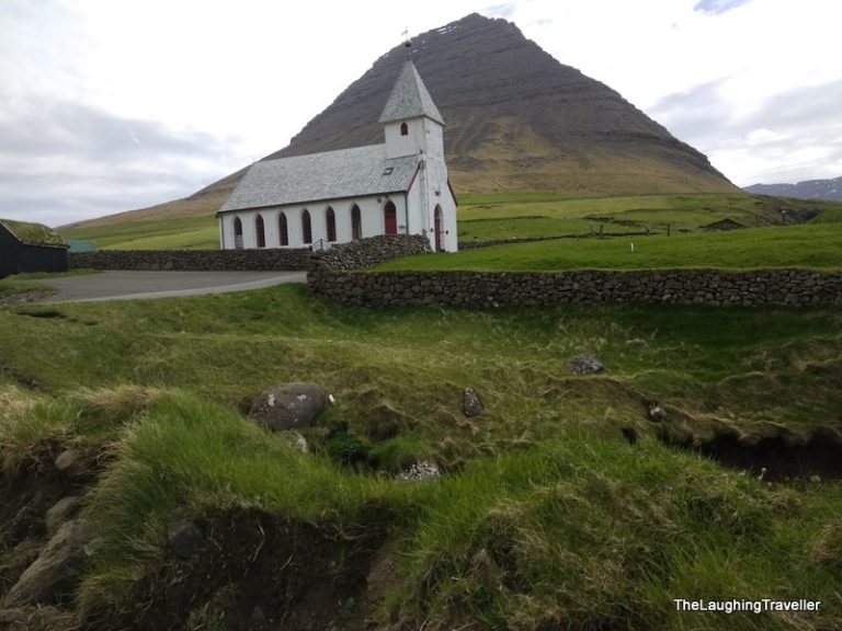
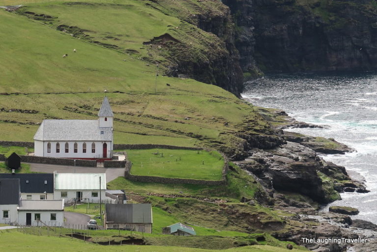
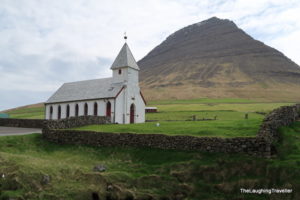
In 2017 I reached the village and its beautiful church but I didn't hike the mountain. This time I did my homework!
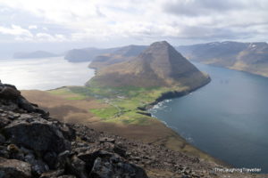
The trail head is from the upper part of the village and even from that point, there's already a nice lookout on the church which is located right on the sea. The trail itself is not an easy one, hiking up ~750 meters! (2100 feet). The advantage of this hike over others in the islands is that it's marked, that's rare.
How is it marked? Wait and see…
Every time I visit the Faroes, the amount of tourists makes me laugh. I reached the "parking lot" of the trail and there's room for like 4 cars. Maybe! The skies were a bit cloudy and the temperature – perfect for intensive walking, around 10 degrees (Celsius), yeah I realize this is not perfect for everyone, but that's how I like it.
Cape Enniberg - here we go!
Last year I reached the village and its beautiful church but I didn't hike the mountain. This time I did my homework! The trail head is from the upper part of the village and even from that point, there's already a nice lookout on the church which is located right on the sea. The trail itself is not an easy one, hiking up ~750 meters! (2100 feet).
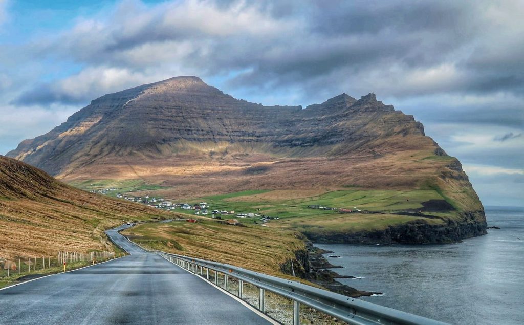
As I mentioned earlier, the walk is steep so the quads (muscles) are working hard. The first part of the trail is on grass which later turns to be a bit slippery mud and then gravel. The combination of the elevation degree and the different "slipping levels" made me think what would the way down look like and how will my knees react…
Suddenly, a young American guy walks by me. Turns out he was at the same spot 2 days earlier but due to heavy fog he gave up and now he's back again. He said "see you soon" and I never saw him again LOL. Almost.
Speaking of fog, how many words do you think there are in the Faroese language? Here are 40 different ways to say fog. Enjoy!
Where did the blue tubes go??
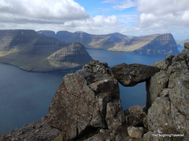
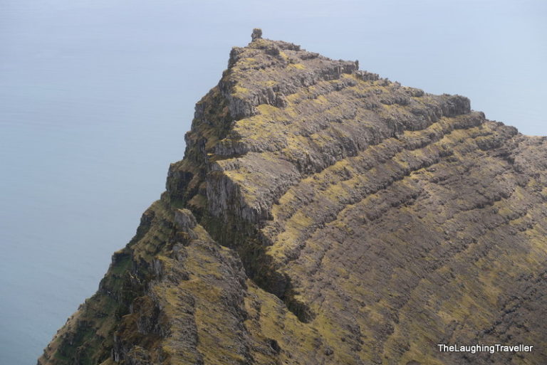
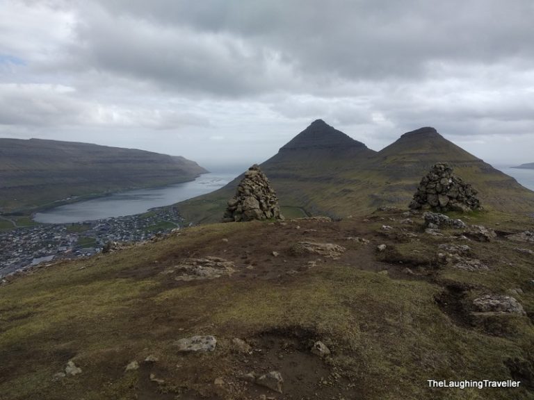
When I reached the top the blue tubes were no longer there. However, obviously, I still needed to go somewhere. In the "instructions" I had (=information I gathered from different blogs) it said to ignore the cairns to the right as they are too close to the cliff edge. So I tried the 2nd option which was stepping on large rocks when in every step there's a chance to sprain your ankle.
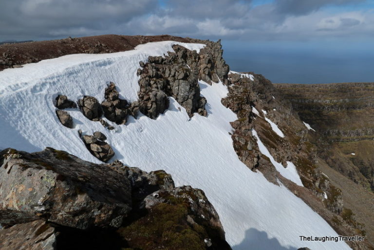
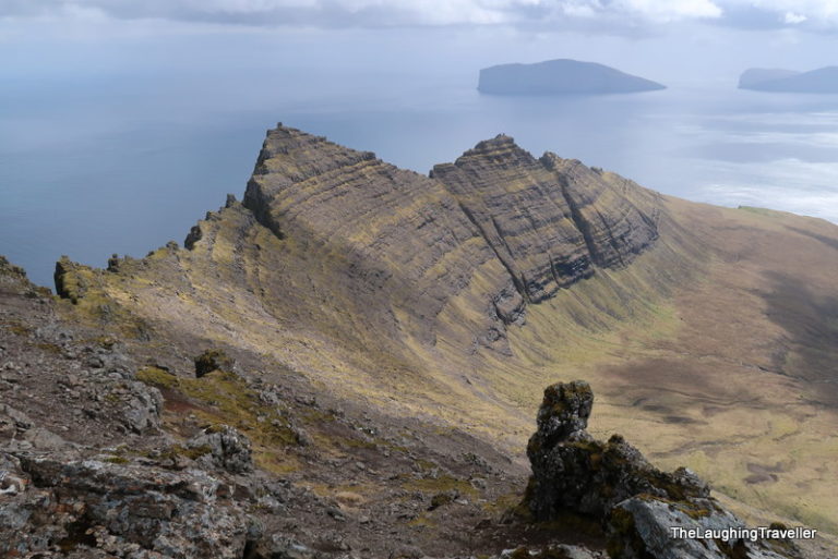
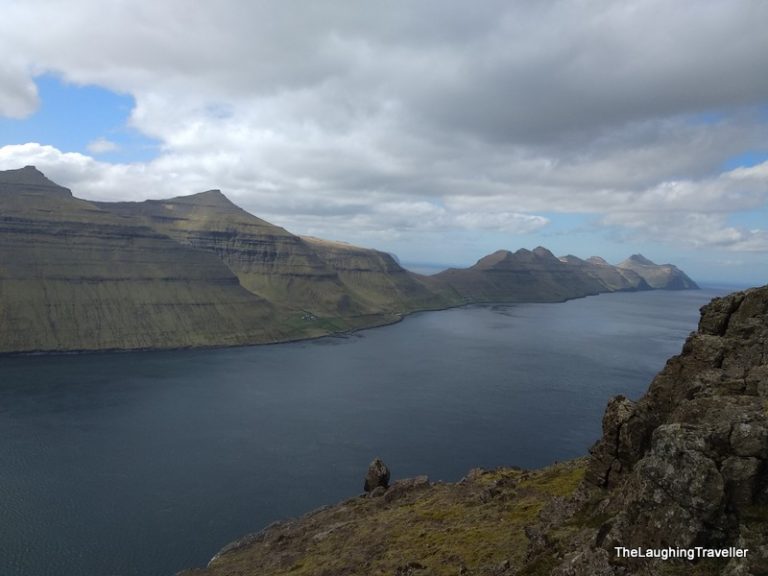
I walked carefully until I reached the highest point where I still saw some snow leftovers and more rocky formations. I sat down and just absorbed the scenery as much as I could. It was cold and looked like rain or snow could start any minute so I didn't spend there too much time. That was the time when I saw the American dude once again.
Going down, and despite the fact I already took dozens of pictures, I just couldn't stop clicking the buttons. On my camera, on my cell – wherever!
Surprisingly, going down wasn't as difficult as I expected, but that doesn't mean I didn't slip 🙂 .
All in all this hike took something like 5 hours.
My new travel gear
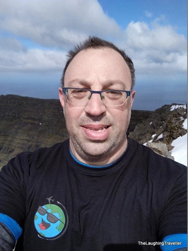
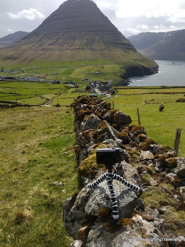
This trip was the first time I used a gorilla-pod so I took quite a few self pictures 🙂 . Well, it's my birthday! BTW – do you recognize the black shirt? It has the blog's logo on it.
Another hike?? - why not...
The American dude was hitchhiking so when I got down he was trying to catch a ride. I didn't have plans for the rest of the day and he suggested we do a short hike. There was one trail I knew about which was not too far so we went there.
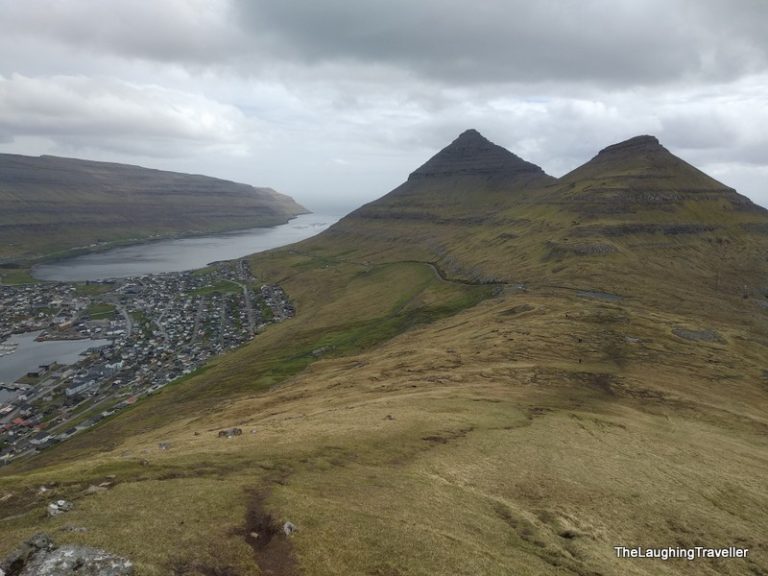
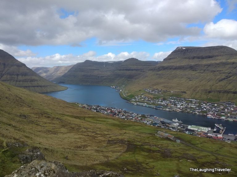
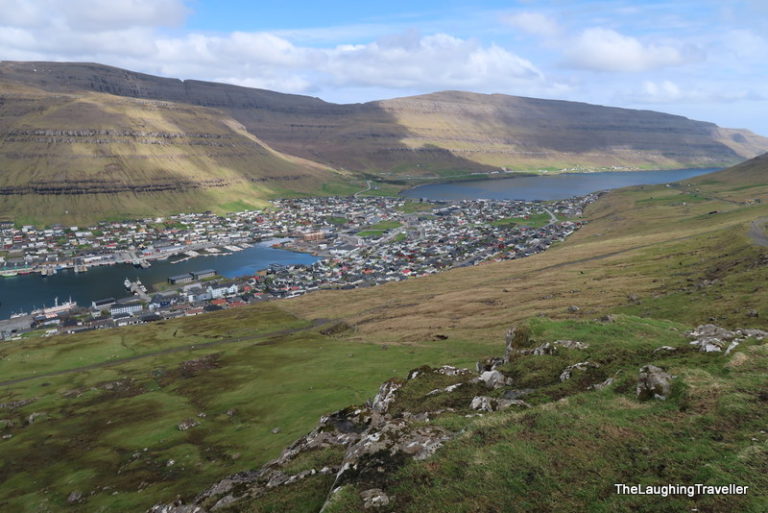
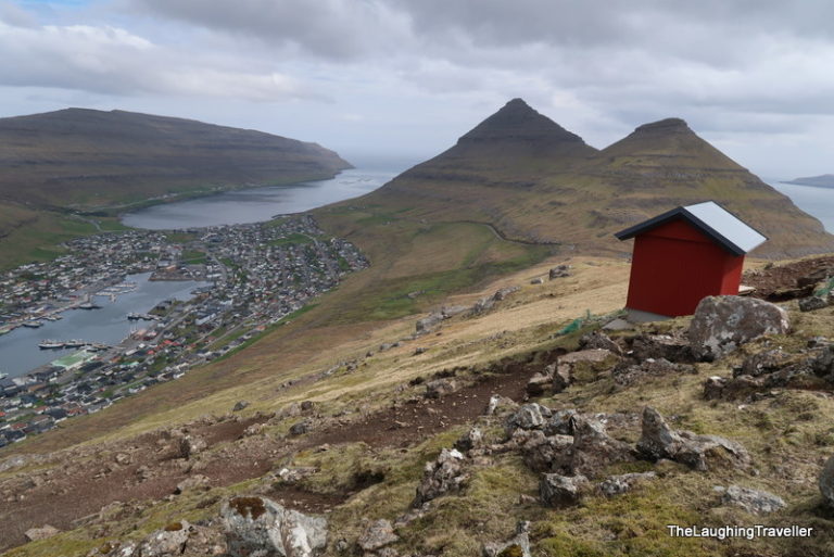
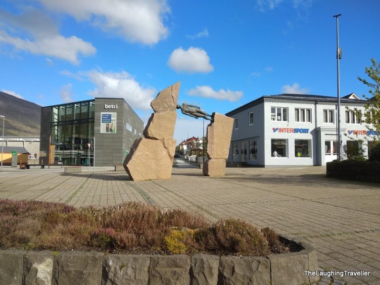
It was pretty awesome in terms of "joy vs effort"! The name is Klakkur and its really close to Klaksvik, the 2nd city in the Faroe islands.
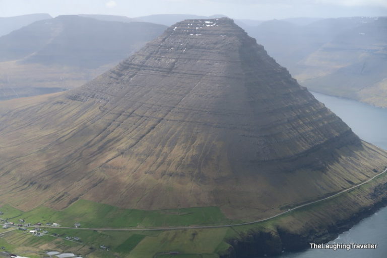
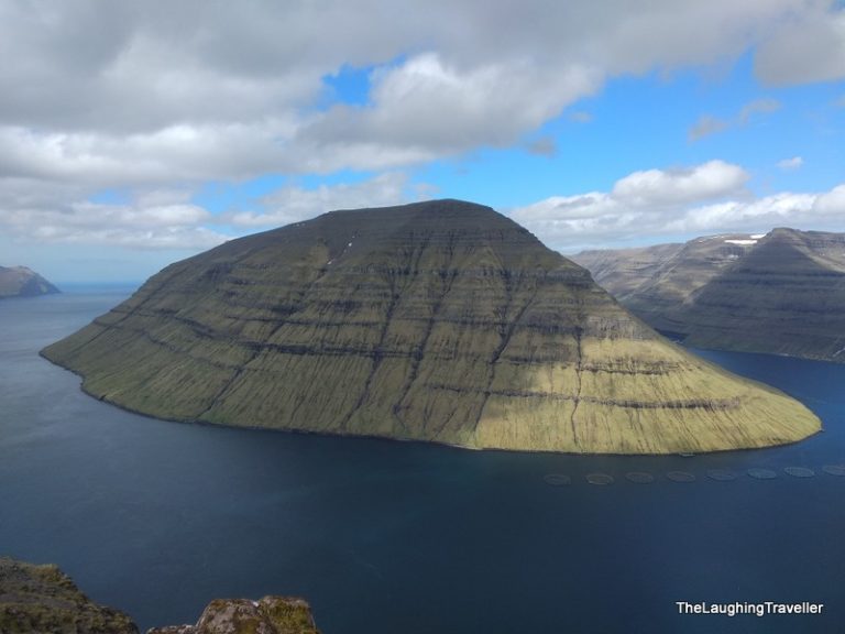
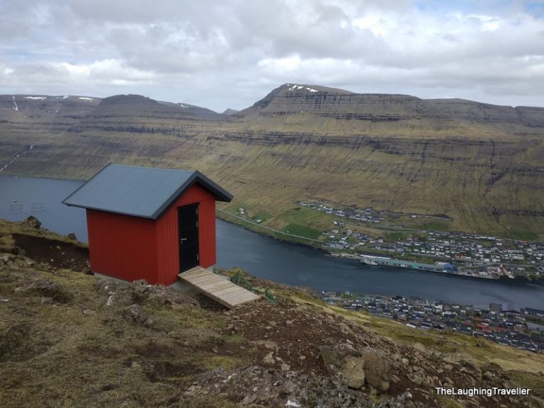
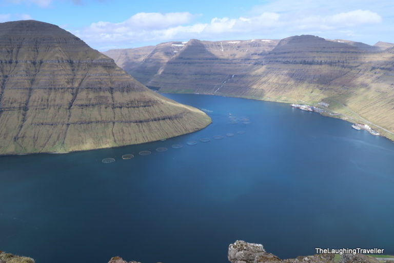
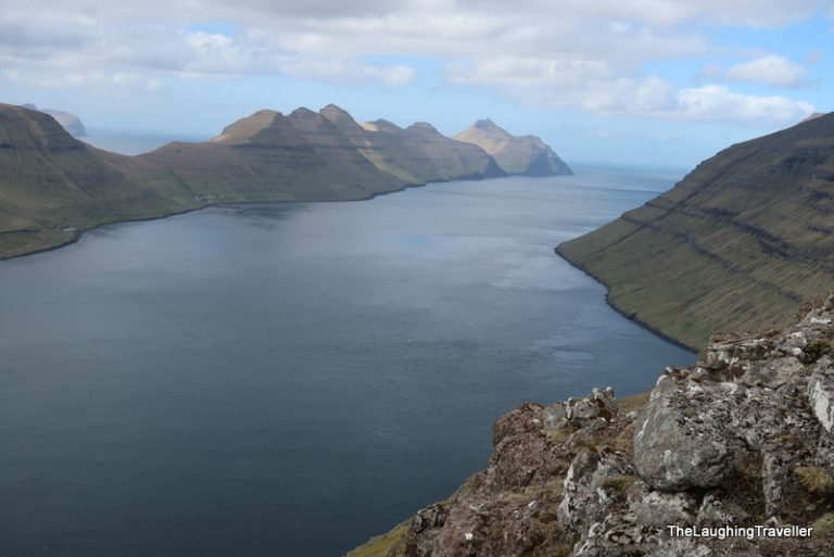
It was about 6 km (maybe even less). After a descent climb we saw all Klaksvik underneath us. Right in front of us was Kunoy which has this lovely unique shape and you can also see Kalsoy easily.
I took a panoramic picture and usually when I take it, I'm alone. This time he was there and you know, it can "ruin" the picture. So without even asking, he understood what he needs to do and stood behind me as I was 360-ing 😉 .
What's there to eat in Klaskvik?
It's 6PM, I dropped the American, the sun is shining but I'm s-t-a-r-v-i-n-g! I didn't have a proper meal all day… I mostly had some beef jerky which by the way is something I need to add to my lists.
In my previous road trips I always had baby carrots but now I can eat beef jerky as well 🙂 .
I looked for something to eat and this time Google didn't help me. It recommended one place but when I go there it was closed, even though Google said it was open… Luckily it was right by a gas station so I asked someone where should I go. Apparently they had some holiday so many places were closed. Eventually I had a takeaway pizza not too far from the "center" and while I ate I checked if there's anything else I could do today.
Lake Toftavatn
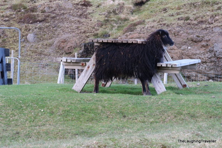
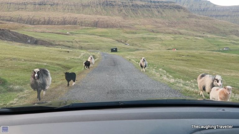
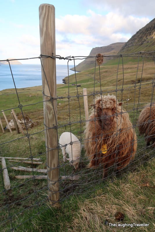
Not too far from where I was spending the night was this small lake, Toftavatn. It was less impressive after the things I already saw today. On the way back I drove on some gravel road when several sheep started running towards the car.
It was a little dangerous since I don't want to hurt a sheep now… I stopped the car and it was the only time I used the car horn!
To summarize this experience – I was really happy from that day!
If you're looking for a "Faroe islands essentials" guide? Click here
If you have any more questions, feel free to get in touch with me!
Are you using Pinterest? This is for you
More posts about the Faroe Islands
Hiking Cape Enniberg in the Faroe islands
Hiking Cape Enniberg in the Faroe islands In 2018, I decided to celebrate my birthday in the Faroe islands, and to be more specific – on
Faroe islands 101
Faroe islands 101 Planning a trip to the Faroe islands? You have limited time? You reached the right place! This post has information and specific
Gems of the Faroe islands: 3 villages you don't want to miss
Gems of the Faroe Islands – 3 villages you don't want to miss When I started working on the material for writing this post, it

